2026 wildfire Grant County, Oregon
Cottonwood
Two organizations, five nights apart, and two ways of drawing heat on the same fire, point by point and as areas.
- Nights of maps
- 2
- August 8 to August 13
- Map sets delivered
- 2
- From two flying teams
- Heat sources on the busiest map
- 16,345
- Whole fire, night of August 8
- Acres on the incident record
- 722
- Read September 13, 2026
Where it burned
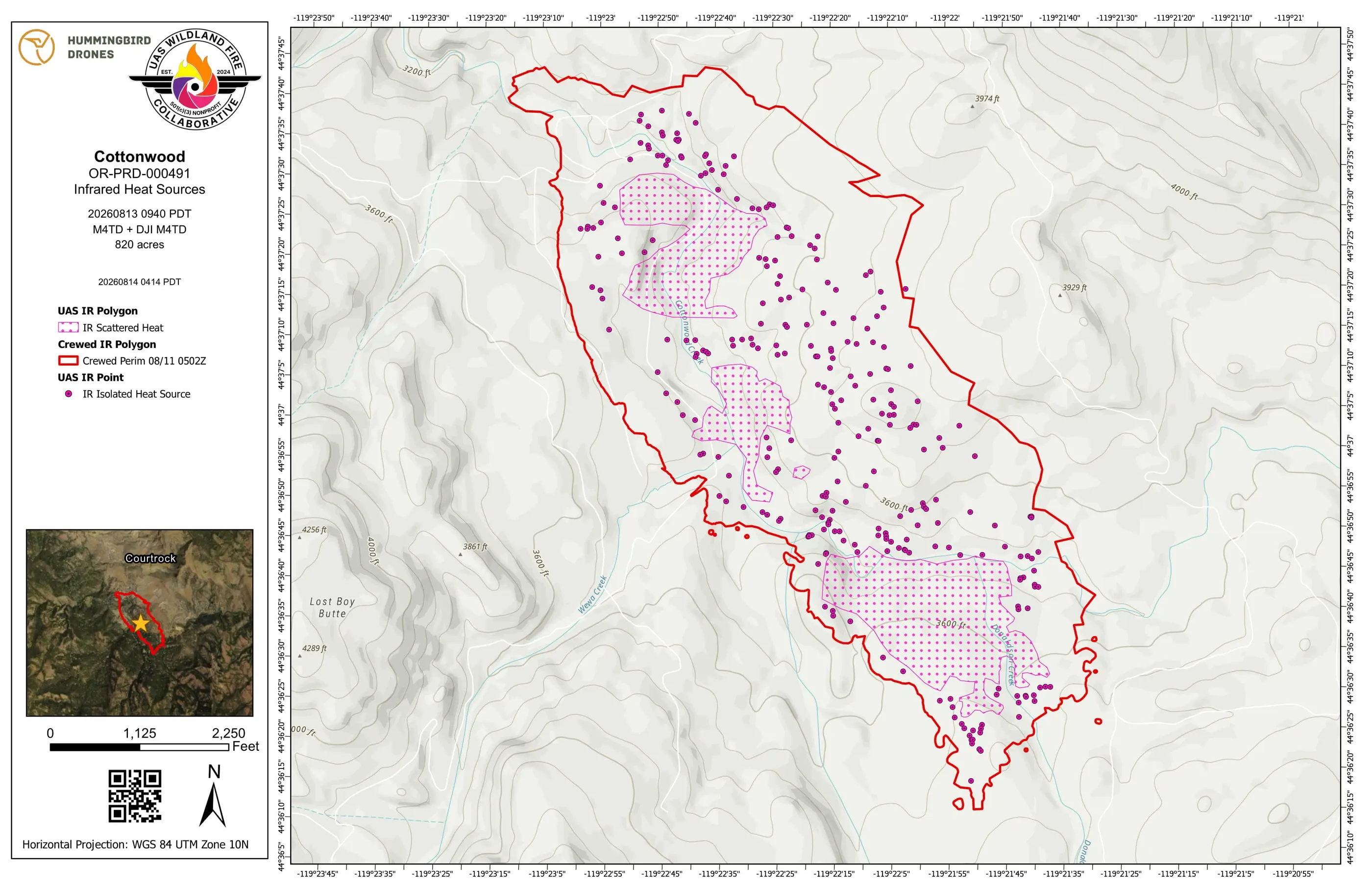
Cottonwood burned along Cottonwood Creek, which runs the length of the fire on its map sheets, with Lost Boy Butte to the west. On Hummingbird Drones’ map the areas of scattered heat sit in the creek bottom, and the single heat sources spread up the slopes on either side.
Two flights, five nights apart
Cottonwood was reported on August 6 in Grant County, with a human cause on the record. Two organizations flew it through the system, five nights apart, and both maps carried the incident’s daily fire perimeter in red.
Every warm spot
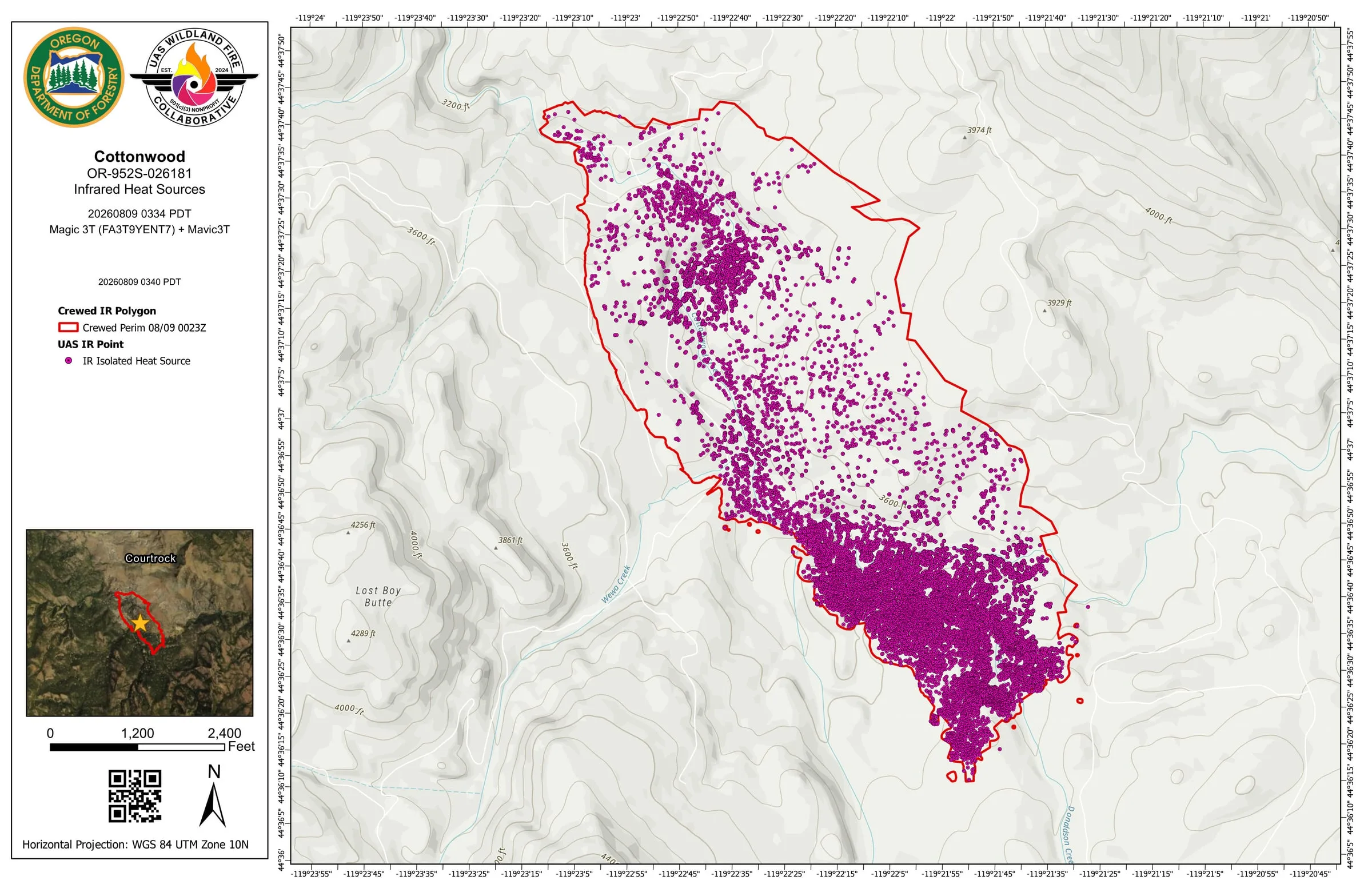
The Oregon Department of Forestry flew it first, at 3:34 on the morning of August 9, with a DJI Mavic 3T and the objective to map hotspots. The map came back with 16,345 isolated heat sources, a point for every warm spot picked out of the imagery across the fire, most of them packed into the south end.
Then the areas
Five nights later Hummingbird Drones flew a perimeter scan and a full scan of the fire, focused on the 100 foot mop up buffer, in light rain at the start. Where heat sources sat close together, that map drew them as areas of scattered heat, and it marked the rest one at a time: 280 of them.
Both are the same product, with the same symbols and the same colors. The difference between them is how each crew chose to draw the heat, and a firefighter who has read one can read the other.
What the Collaborative did
Two flying teams. The system did the rest.
Every map set on this fire came back as two thermal map sheets, one on aerial imagery and one on a topographic base, with a daily log, a Google Earth file and the GIS layers, on the flying organization’s own template.
- 12 files in the public archive Filed by night under the folder and file names the interagency share uses, free for anyone to open.
- 2 map sets carry the daily fire perimeter The incident’s own interagency perimeter, pulled onto the map in red beside the drone’s pink heat.
Delivered to the incident
More thermal map sheets from Cottonwood
Pink is a drone Red came from elsewhere How to read the map
The archive, night by night
Every map set
2 map sets over 2 nights
One row per map set, grouped by night. A flight after midnight counts with the night before it, and the archive files each night under the next day's date, the operational period its maps served. Where two flights covered the same ground in one night, a heat source can appear on both maps, so the nightly numbers are not added into a trend.
- Oregon Department of Forestry
- Hummingbird Drones
| Night | Flown | Area | By | Heat sources | Possible heat | Mop up buffer | Archive |
|---|---|---|---|---|---|---|---|
| August 8 | 3:34 am | Whole fire | 16,345 | 0 | None | Open the night | |
| August 13 | 9:40 am | Perimeter scan* | 280 | 0 | None | Open the night |
Counted September 13, 2026 from the submission records and the public archive.
- 2 records on this fire are not counted because they were never approved for release.
- * The pilot typed a different night for this flight. The heat detections’ own timestamps place it on the night shown, which is where the archive files it; the sheet itself keeps the typed date.
Where the images came from
- Both sheets on this page are the PDFs delivered to the incident and published in the public archive, rendered as images. The name of the pilot printed in each title block is covered, because this site names organizations, not people.
- The objectives and notes quoted on this page are from the submission records.
- The incident record is the interagency record in WFIGS, read September 13, 2026.
More from the 2026 season
Other case studies
-
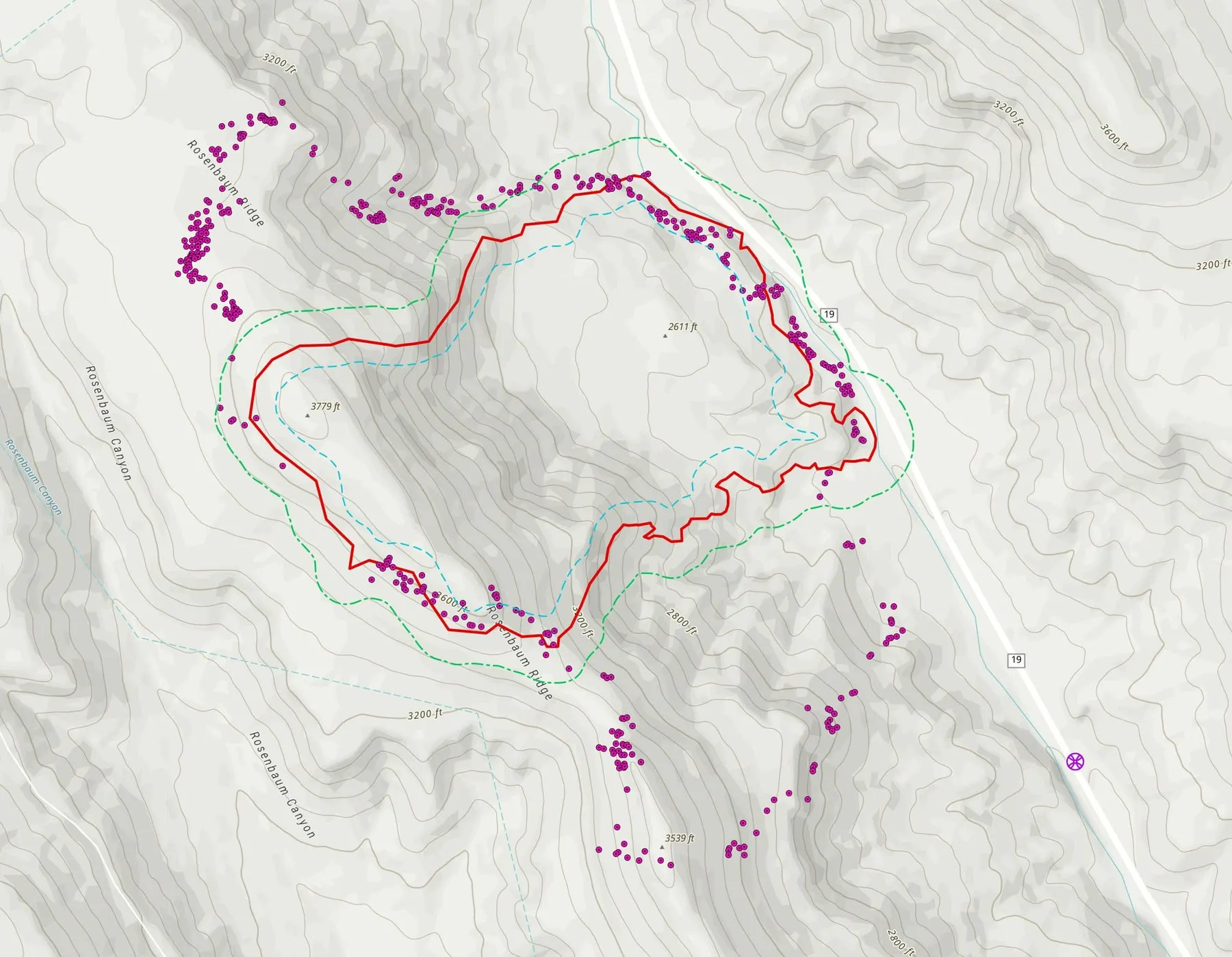
Rosenbaum
Mapped the night it was reported, then scanned before dawn three mornings running, with the heat that sat beyond the daily fire perimeter on the map.
-
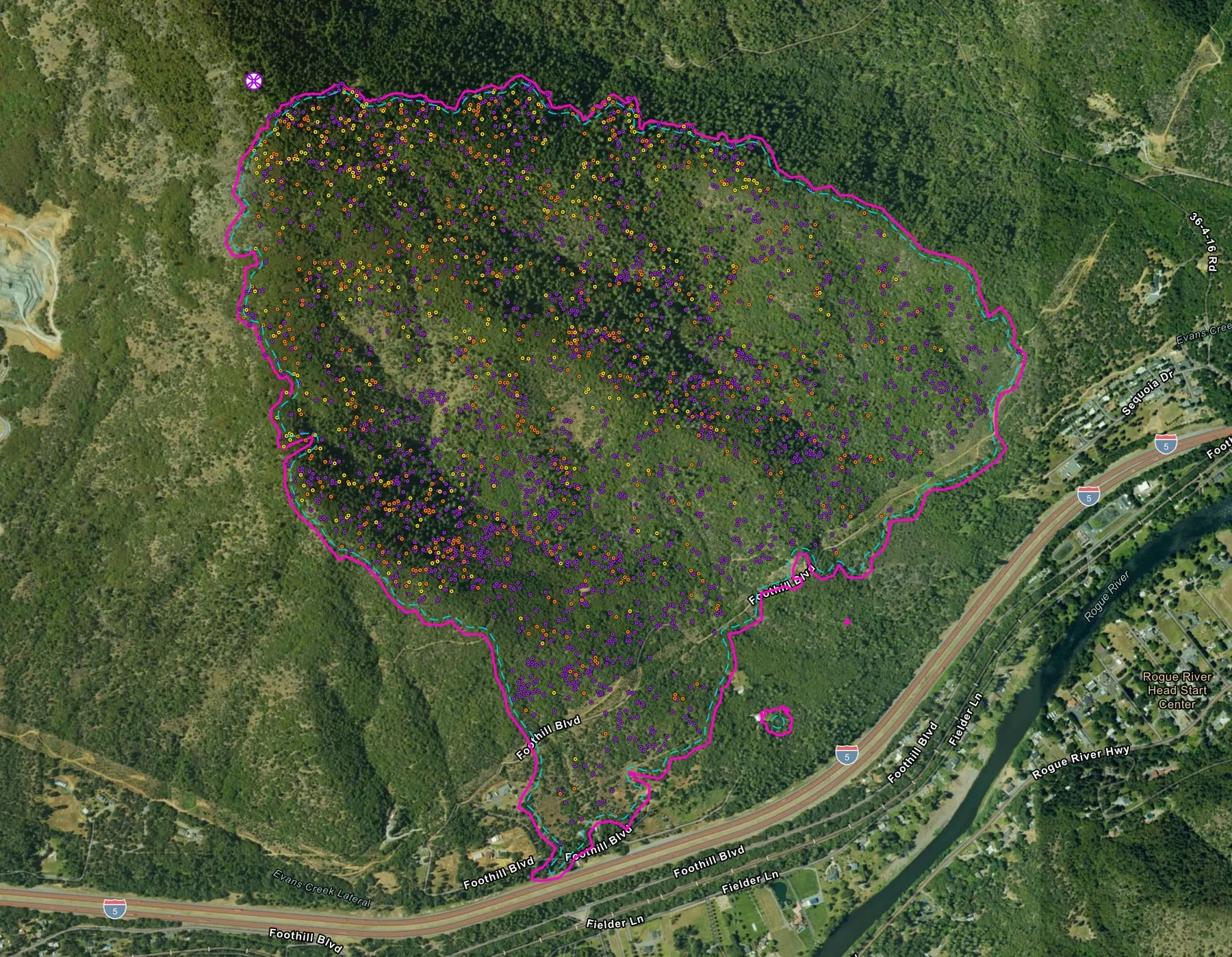
Fielder Mountain
Night after night over the same steep ground, and what happened to the heat inside a perimeter that never moved.
-
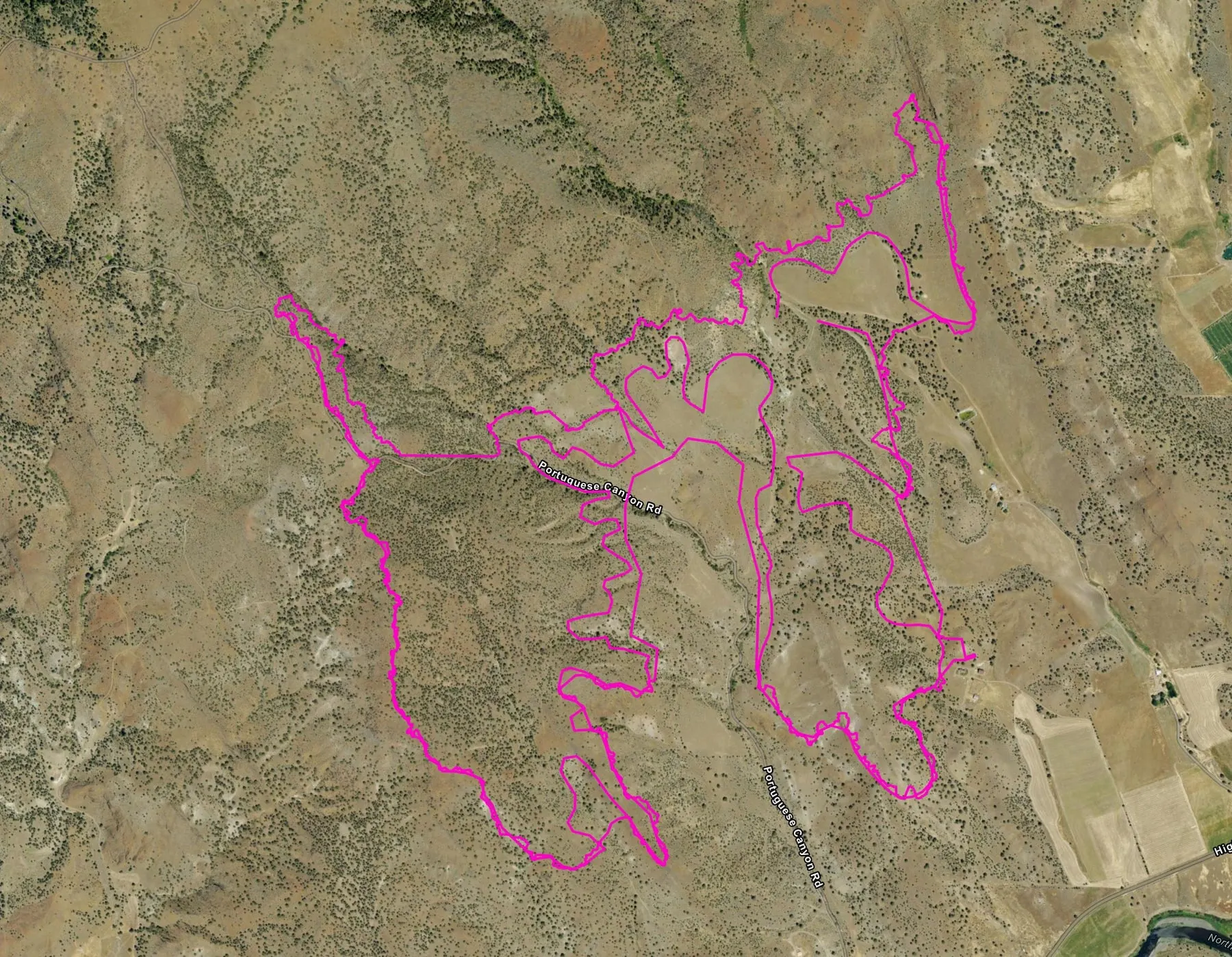
Bologna
A pink heat perimeter from a state drone, then a week of flights along the line as the heat near it faded.
Support the Collaborative
Every sheet on this page went to the incident.
A gift keeps the system running for the next fire, so the heat still in the ground reaches the incident on a sheet like these.