Major gifts and grants
For donations above $1,000, sponsorships, or grant inquiries, email info@uaswfc.org and we will follow up within two business days.
Support the Collaborative
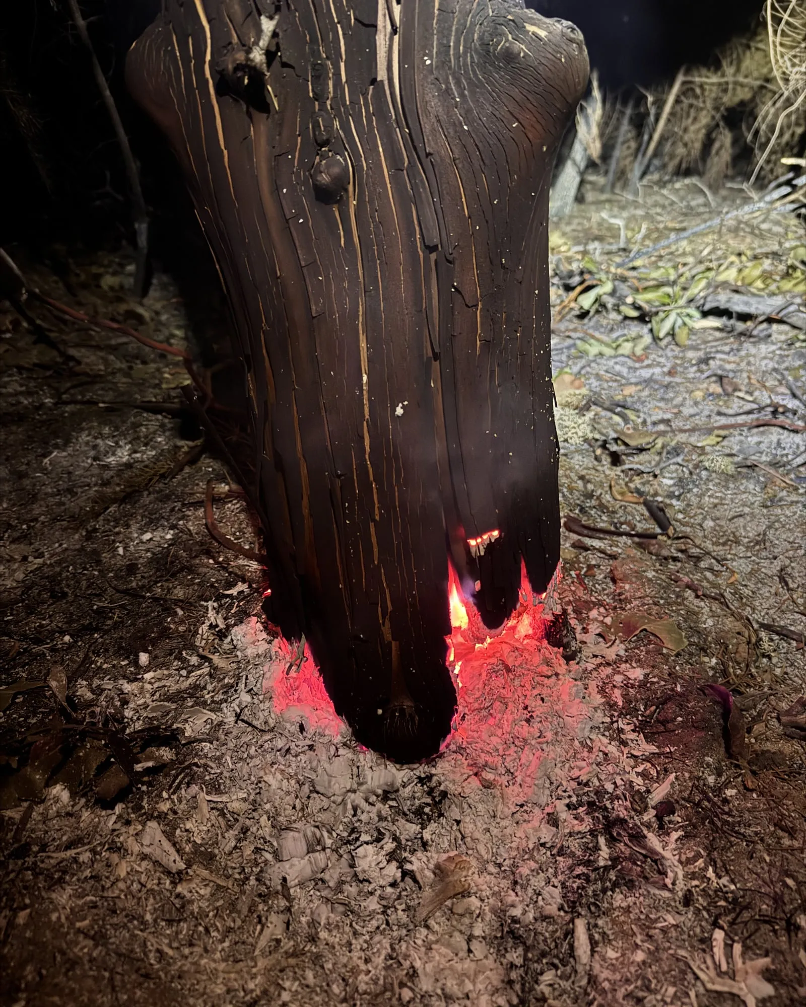
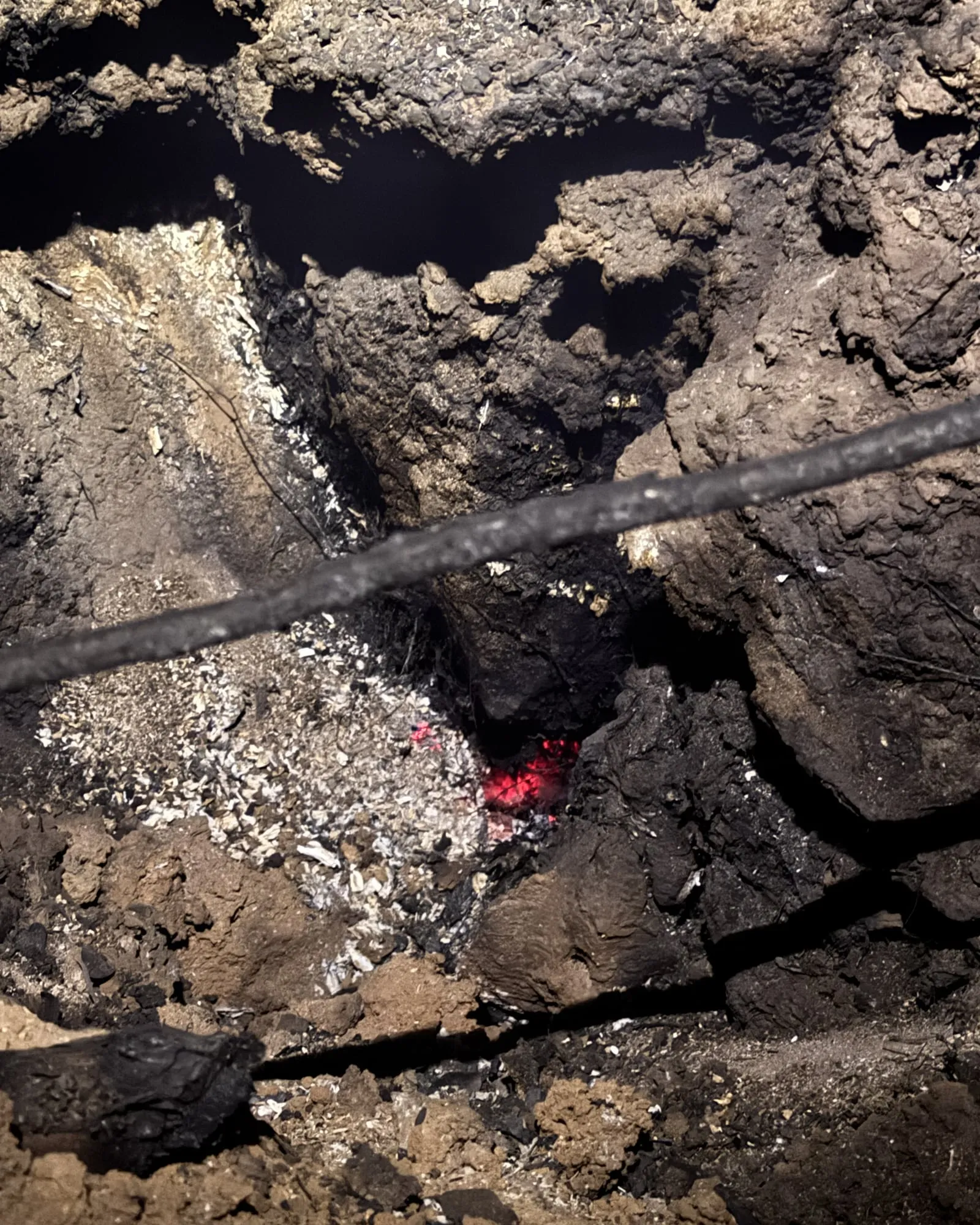
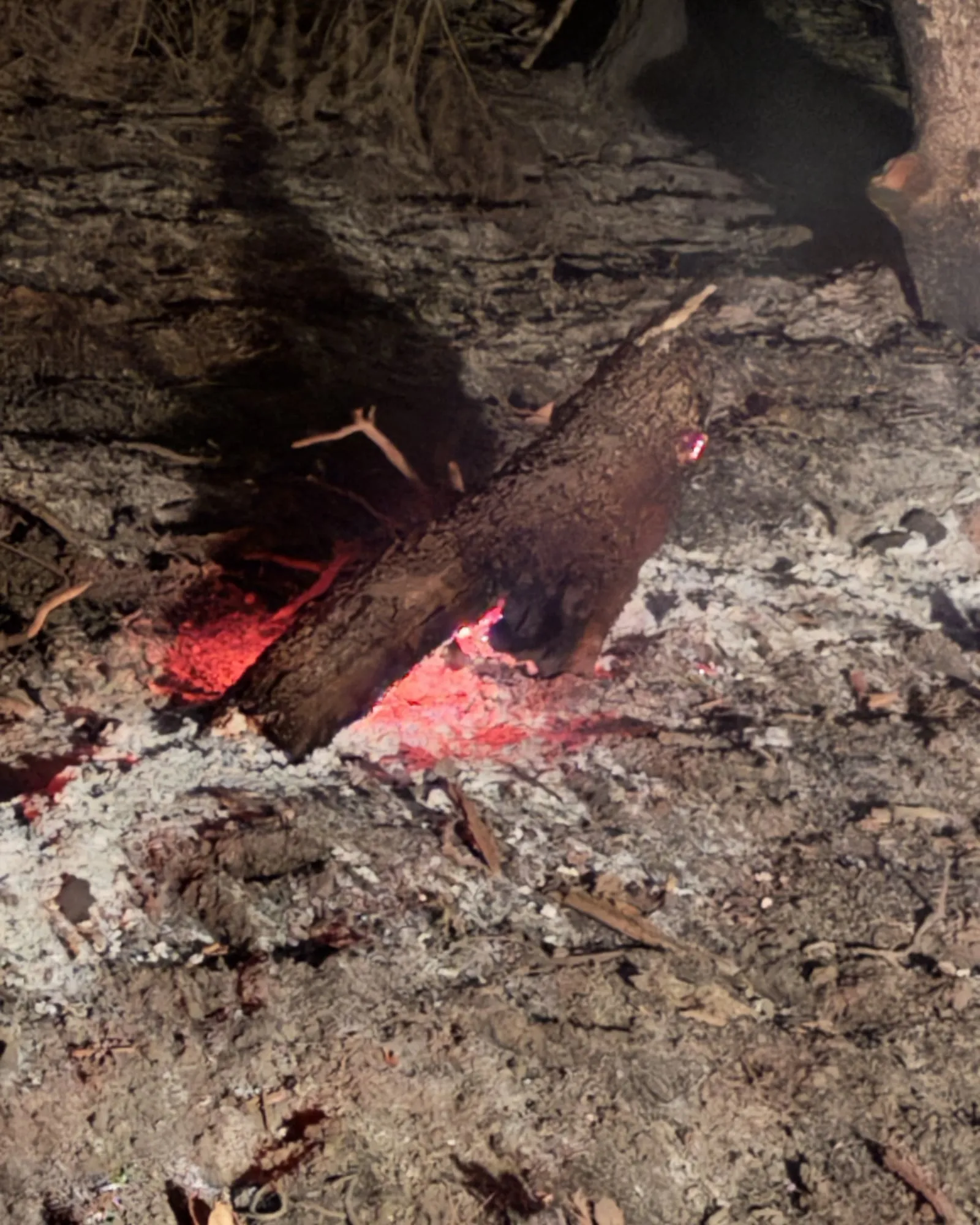
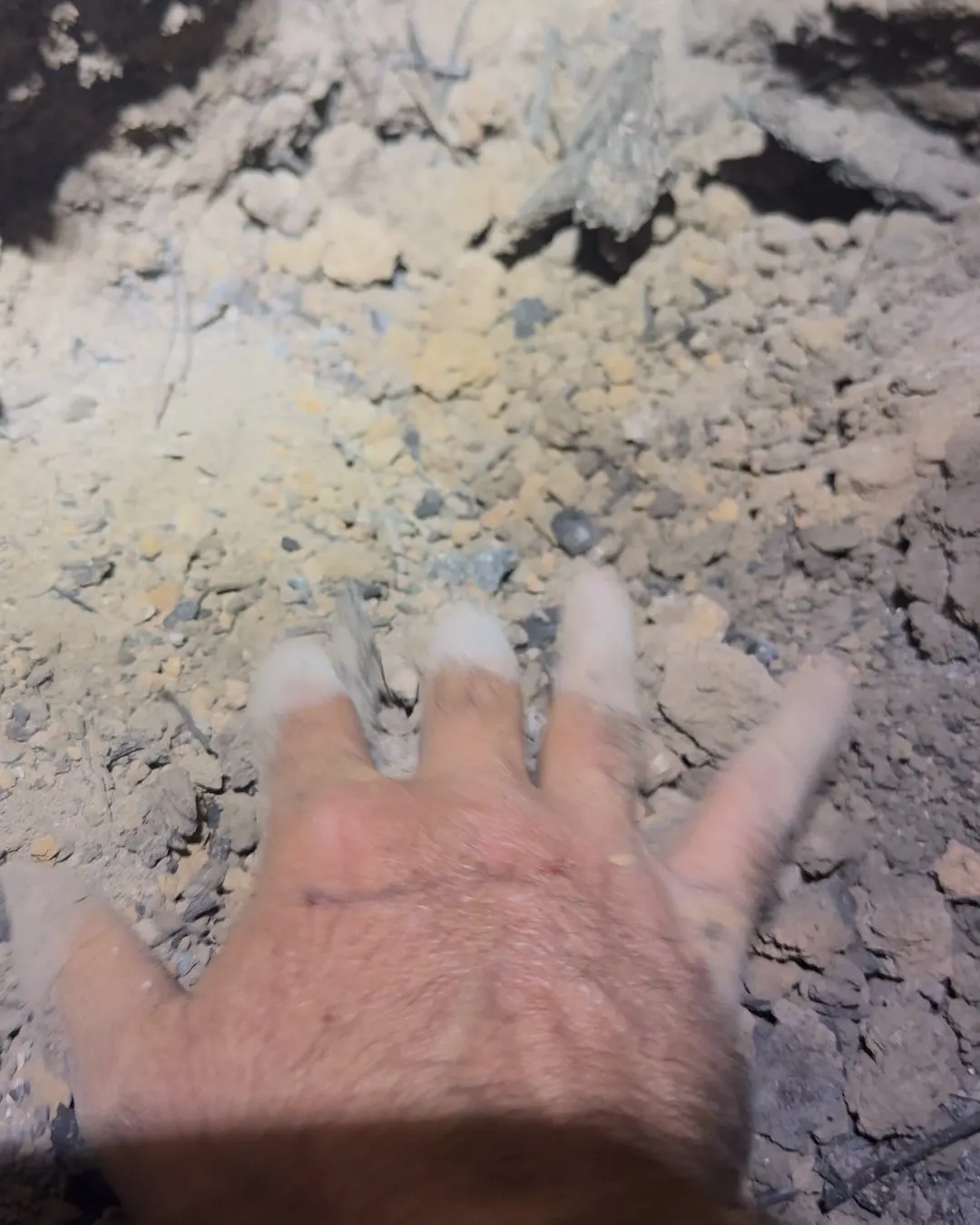
After the flame front passes, crews walk the burned ground and feel for heat with their bare hands. Heat that survives in stumps and roots can start the fire again. Our thermal maps show crews where it is before they walk in.
Recognized 501(c)(3) public charity EIN 42-2344101
Initial funding milestone
It has been built and run without pay since 2024. In the 2026 season it delivered 76 nights of finished maps on 11 fires. This first $50,000 is milestone one toward a real operating budget, not the cost of a whole season.
Help fund the next map.
Give to the $50,000 milestoneOne time and monthly gifts are processed by Givebutter. A receipt is sent by email.
For major gifts, grants and in kind support, email info@uaswfc.org.
Give to the Collaborative
One time or monthly. Every amount helps.
Form not loading? Donate on Givebutter.
What the map finds
Each of these was marked as heat on one of our maps before anyone walked to it. On the ground, heat like this hides under ash and inside stumps and logs. From the air at night, a thermal sensor reads it as a hot spot, and the map carries that spot to a phone on the ground.
Where your gift goes
The building of this system since 2024, and the work of keeping it running through each fire season.
A planned hire: a dedicated GIS specialist for the map sets and the data behind them.
The processing, storage, public archive and web hosting behind every night of maps.
The online GIS subscription and its processing credits, and the mapping software every sheet is laid out in.
Bringing more state, federal and private pilots onto one shared standard.
Continued work on the pipeline and on the delivery system that carries a map to the incident.
Flights for communities that cannot pay: drone LiDAR, multispectral and colour imagery for a small town's wildfire protection plan, in the off season. Fire preparedness
From an agency perspective, ODF sees clear value in the development of a standardized, nationwide, UAS data platform. … Based on our experience to date, we view UASWFC as a promising solution in this space.
More ways to help
For donations above $1,000, sponsorships, or grant inquiries, email info@uaswfc.org and we will follow up within two business days.
Thermal and multispectral sensors, drones and batteries, cloud compute and processing credits, GIS software licenses, and data storage are all useful. Email info@uaswfc.org to discuss.
Many employers match nonprofit contributions. Our EIN is 42-2344101. Submit through your matching gifts portal.
Before the next season
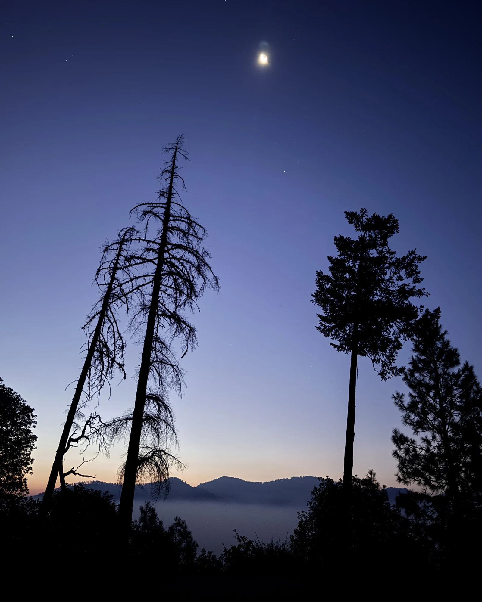
Heat stays in stumps and roots long after the flames pass. Your gift keeps the system running that maps it for the crews who walk in next.
UAS Wildland Fire Collaborative is an Oregon nonprofit public benefit corporation and a recognized 501(c)(3) public charity. EIN 42-2344101. Mailing address: 4951 Griffin Creek Rd, Medford, OR 97501. Contributions are tax-deductible to the extent allowed by law. Donations are processed through Givebutter, our donation platform, which emails a receipt for each gift. No goods or services are provided in exchange for contributions.