Every map set the system delivered this season went to the incident, and nearly all of the finished products went into the public archive. Until now, reading that archive meant knowing what to look for. The new case studies do the reading.
Each one follows a single fire night by night, through the sheets the incident actually received: the Oregon Department of Forestry’s and its South Cascade District’s, Hummingbird Drones’, and Rogue Reconnaissance’s, the founder’s own company. The names of the pilots printed on those sheets are covered. The organizations are named, the people are not.
The pages carry what the pilots wrote on their own records: the objective for the night, the weather, the judgment calls. A final scan of a field for the day shift after the night shift had done its work. Strong heat signatures on and beside a group of buildings, all alike, taken out of the data with a note that it was unclear what they were.
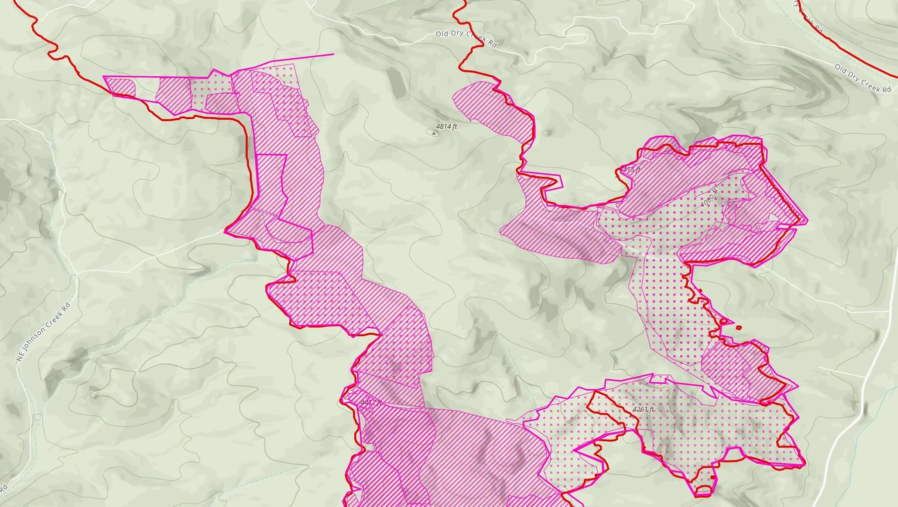
Two things are new on the case study index. The first is a figure that plays a real night from the Interstate 5 fire: the stitched thermal mosaic, then each layer of the delivered map drawn on top of it. The second is the rule every map follows. Pink is a drone. Red came from elsewhere: a crewed aircraft’s map or the incident’s daily fire perimeter. A firefighter who glances at a sheet knows what the drone found before reading a word.
Every number on the pages is counted from the records and dated, and every sheet links to the PDF the incident received. Read the case studies.
Support the Collaborative
Keep the map in a crew's hands.
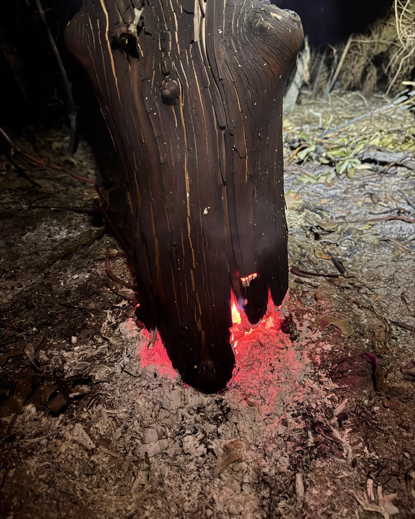
Heat hides in stumps and roots after the flames pass. The system that maps it for crews is running on live incidents, and a gift keeps it ready for the next fire season.