
What we deliver
Every flight becomes a standardized deliverable set.
Pilots fly and process their infrared data. The pipeline turns it into professional, interagency standard products, ready for the incident commander, GIS teams, and ground crews. The same format on every fire, delivered by email for approval within minutes.
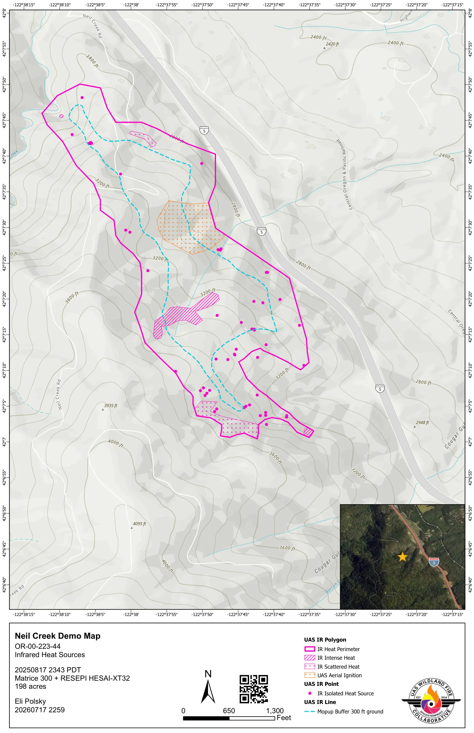
The product set
One submission, a full set of products.
A single flight submission returns everything below, each named to the interagency convention and ready to drop into an incident workflow.
-
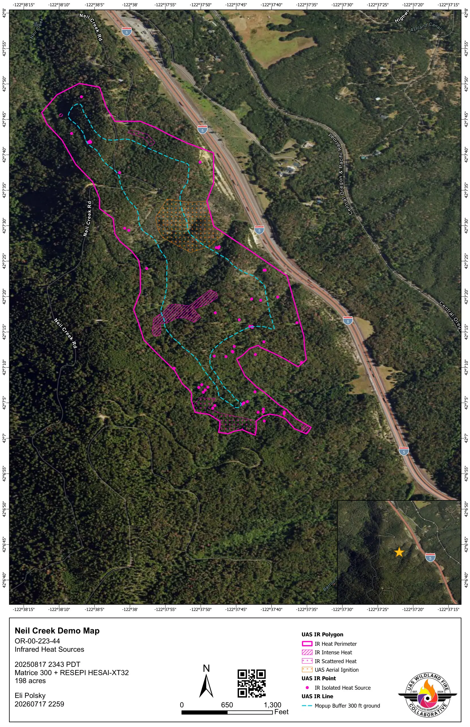
Aerial map
The same standardized layout over current aerial imagery, for crews who read the ground by sight.
-
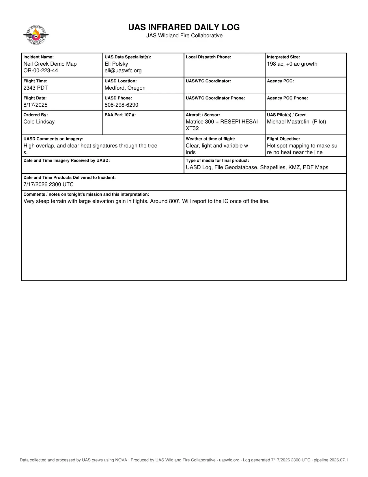
Infrared daily log
A UAS infrared daily log with flight details, aircraft and sensor, crew, and a feature summary by category.
-
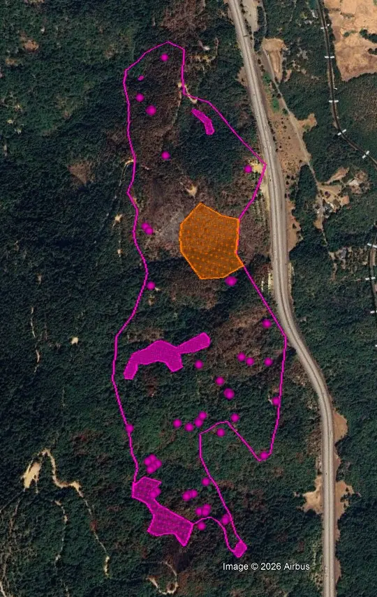
Google Earth KMZ
One file that opens with a tap, so anyone on the incident can see the heat without GIS software.
Also in every set
- Live GIS services the team pulls from, including the Intterra feed.
- Interagency standard shapefiles for any GIS.
- A file geodatabase with the full attributed feature set.
Built for your team
Your agency, on every map.
Each agency and company gets its own map template. A pilot's profile selects it automatically, so the map that reaches the fireline carries the right seal, with no extra steps.
-
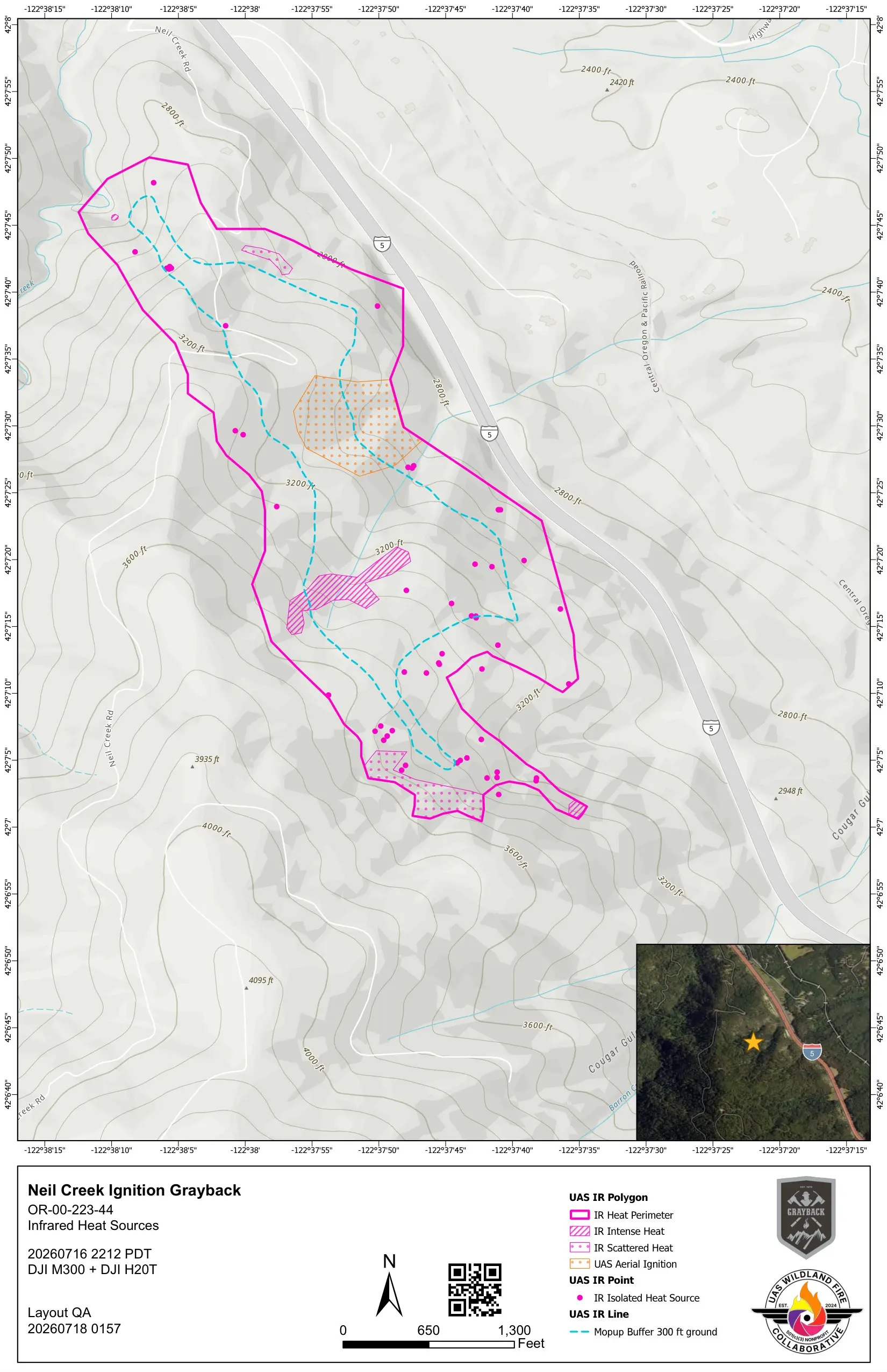
Grayback Forestry -
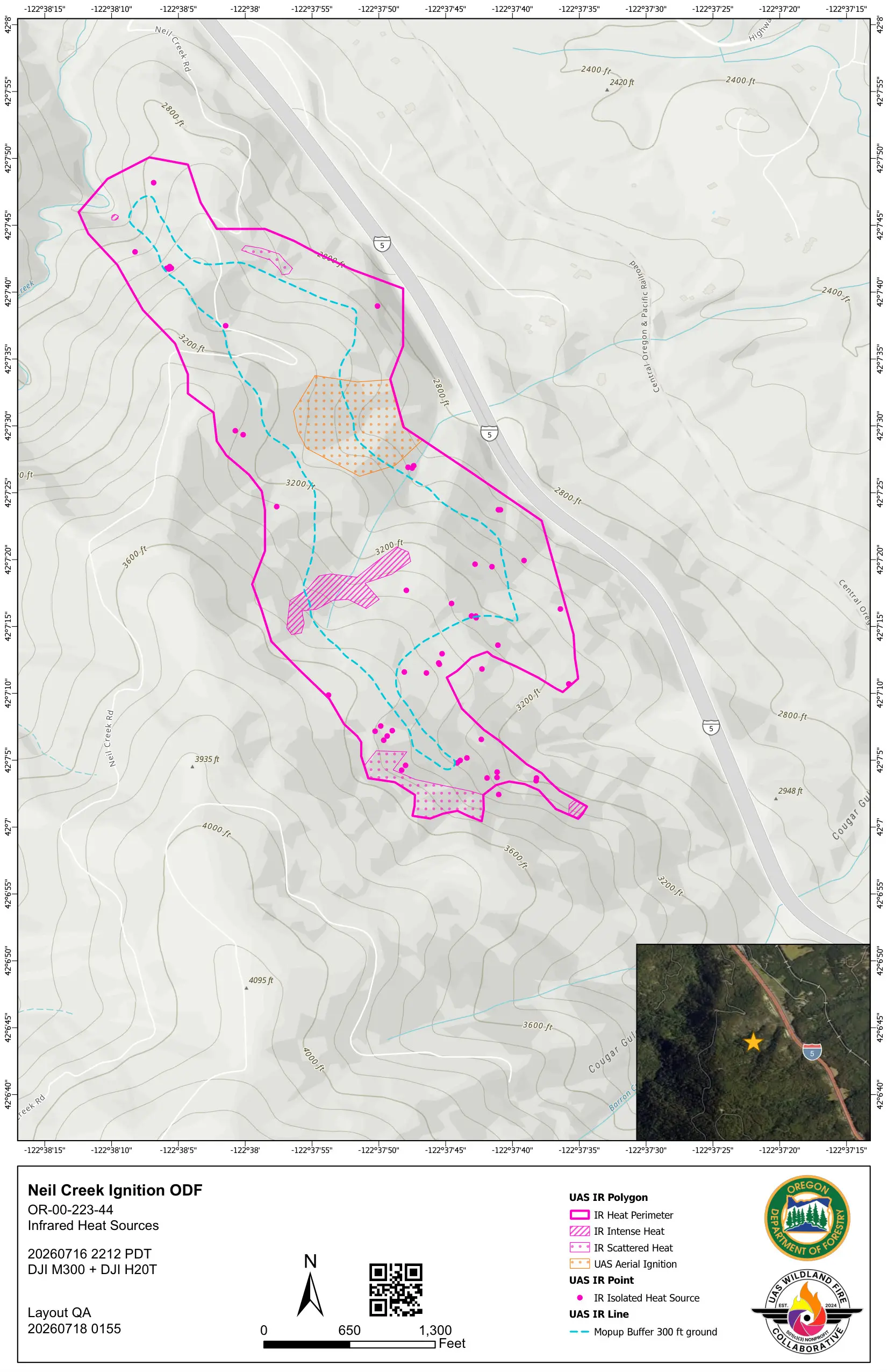
Oregon Department of Forestry -
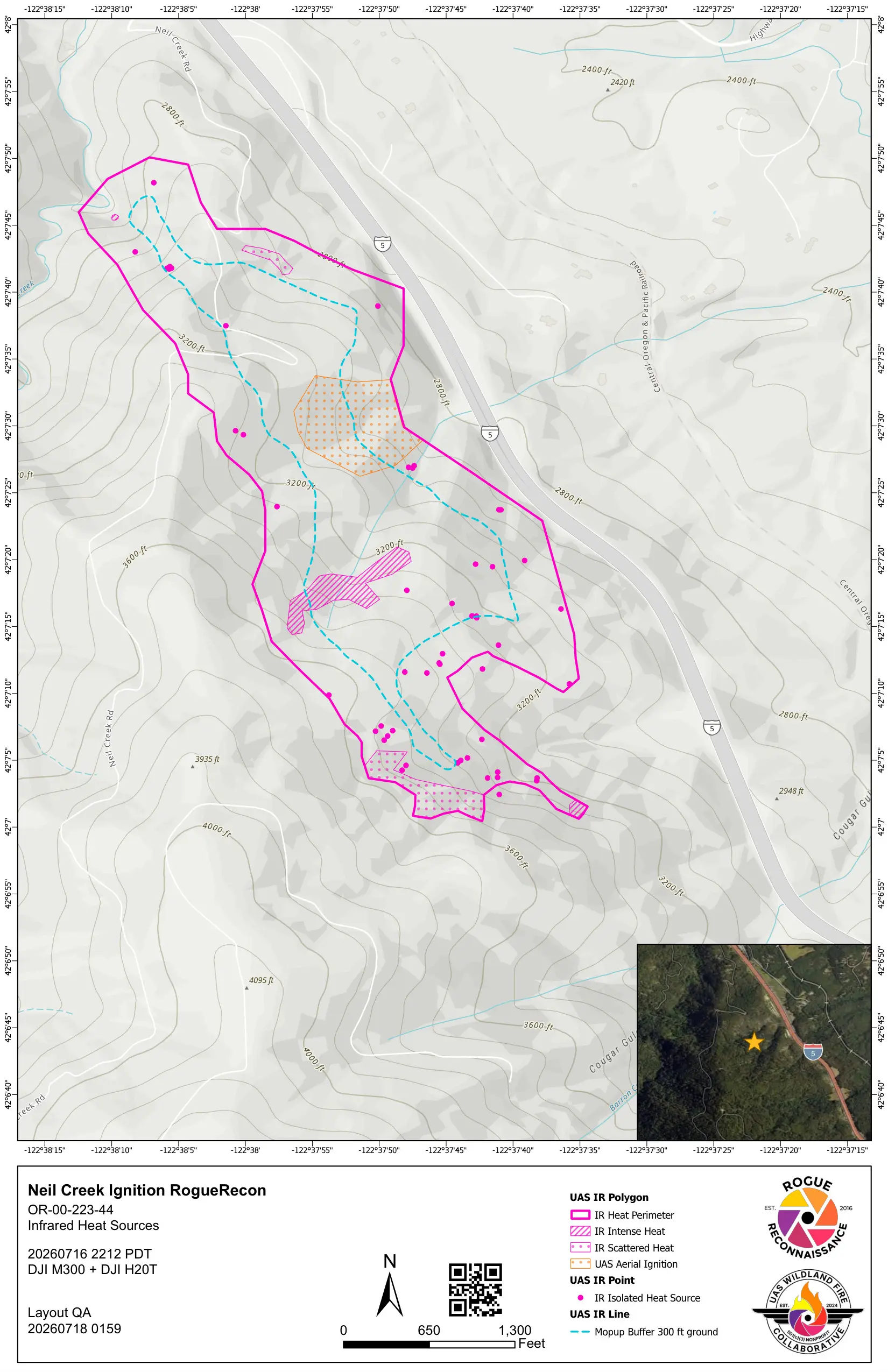
Rogue Recon
Example outputs shown. New agencies and companies onboard in a day.
Fly with the Collaborative.
If you fly infrared on wildfires, your data can reach the incident in this format too. No cost to the pilot or the agency.