About
We are a collaborative of UAS wildland fire pilots.
We process and standardize thermal data captured by UAS pilots over wildland fires, then deliver it into the hands of incident commanders and ground crews fast enough to act on. Reducing exposure for the people working the line is the reason every other piece of this organization exists.
What we do
A pilot flies a thermal sensor over an active incident. Their raw data flows through a pipeline that calibrates, classifies heat, and produces standardized geospatial deliverables. The package goes to the incident management team in the formats they already use. Pilots keep ownership of their data and their name on the product.
Why it matters
Thermal cameras are mounted to UAS over fires every day. The data already exists. The bottleneck is getting it processed and into the right hands before crews are committed to ground that better intelligence would have flagged. We built the Collaborative to close that gap.
Beyond the incident
Year round work, not just fire season.
Wildland fire risk does not end when the smoke clears. The Collaborative supports off season mitigation, prescribed fire, forest health, and Community Wildfire Protection Plans. Collaborators can collect data alongside us, or hire the Collaborative directly to fly and process the work.
- Drone LiDAR
- Multispectral
- Orthomapping and survey
- Fuels and forest health assessment
As a nonprofit, we can pursue grant funding to put this work within reach of the agencies and communities that need it. Partner with us to access these services, or to help fund them.
Status
An Oregon nonprofit public benefit corporation.
UAS Wildland Fire Collaborative is an Oregon nonprofit public benefit corporation, incorporated May 5, 2026, and is recognized by the Internal Revenue Service as a tax-exempt 501(c)(3) public charity. Contributions to UASWFC are tax-deductible to the extent allowed by law.
UASWFC is a tool, not a fire resource. It is built for every wildland fire drone pilot, whether they fly for a state agency, a private contractor, or a federal agency, in any U.S. state. One pipeline and one standard, so the data reaches incident commanders and ground crews in the same shapes every time.
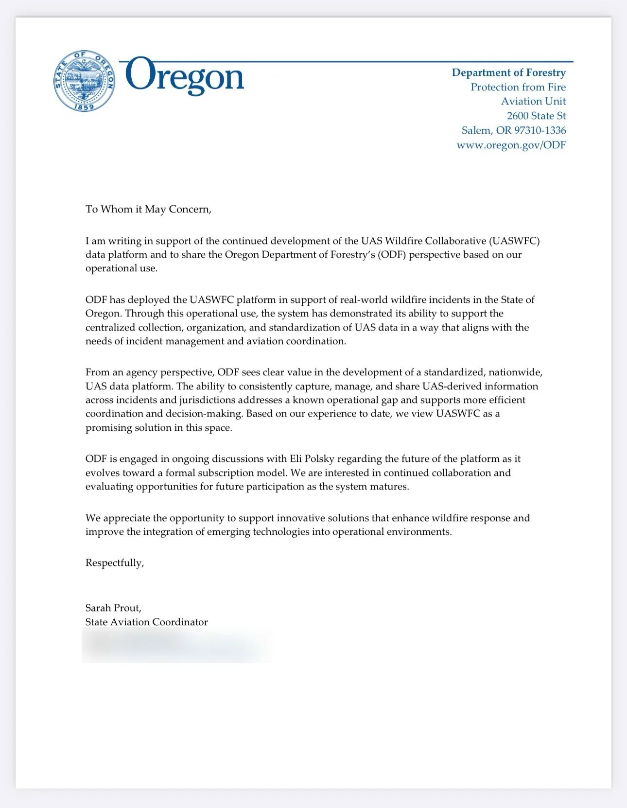
Letter of support
The Oregon Department of Forestry, in their words.
The Oregon Department of Forestry deployed the Collaborative on real wildfire incidents across the 2024 and 2025 seasons. In a letter from State Aviation Coordinator Sarah Prout, ODF describes the system as addressing a known operational gap and calls it a promising solution for standardizing UAS fire data nationwide.
Cohort 3
Selected for the Oregon UAS Innovation Challenge.
UASWFC was selected for the third Oregon UAS Innovation Challenge cohort, the program's largest cohort to date. Read about the program and the work we presented.
Board of Directors
The people accountable for the work.
-
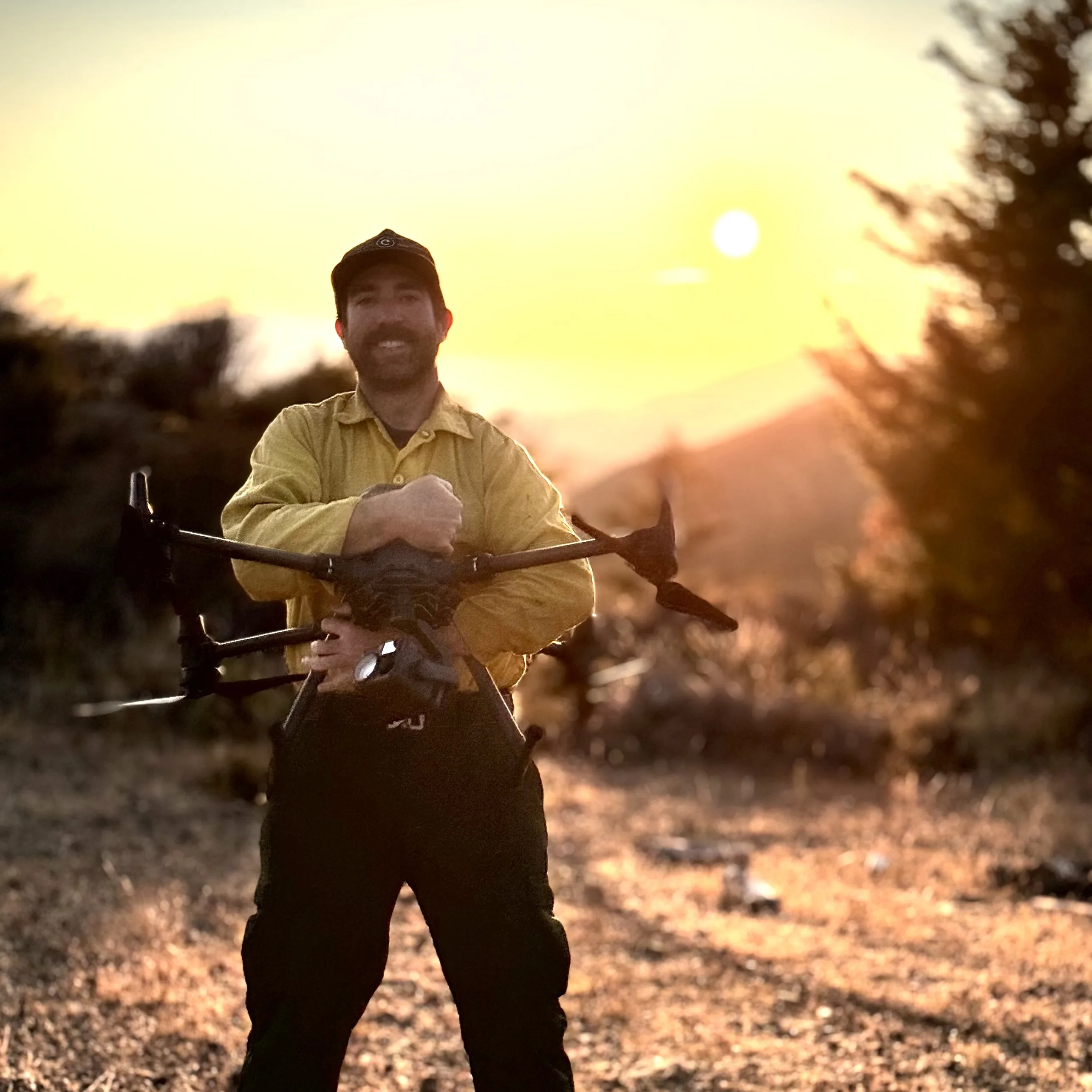
Eli Polsky
Founder · Executive Director
Wildland fire UAS operator since 2012. Founded the Collaborative after years of watching pilot data sit unused while crews worked on yesterday's picture.
Credentials
- Administratively Determined, US Forest Service
- Call When Needed resource, Oregon Department of Forestry
- Wildland fire UAS operator since 2012
-
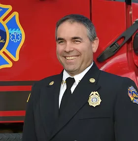
Jeff Pricher
Director
Brings deep operational fire experience and a direct line into the standards bodies the Collaborative aligns with.
Credentials
- Fire Chief
- Member, National Wildfire Coordinating Group UAS Subcommittee
-

Nikki Hart-Brinkley
Director
Technical authority on the geospatial standards behind every Collaborative deliverable. Ensures pilot data lands in the schemas incident teams already use.
Credentials
- GIS advisor
- Esri affiliate
Get in touch
The fastest path is the contact form.
Pilot, fire manager, supporter: tell us which one fits and a sentence or two of context.